Application for marine measures

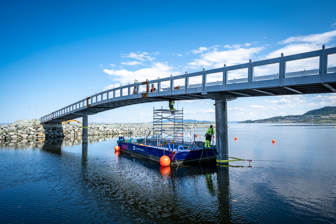
If you plan to undertake measures at or near the sea, you must apply for permission under Section 14 of the Port and Waterways Act. On this page, you will find the application form and guidance on the process.

For general information on which measures require an application, see marine measures.

Measures is a broad term that includes structural installations, environmental interventions and activities.

  • Structural installations can include floating docks, marinas, quay facilities, underwater cables or pipes.
  • Environmental interventions can include dredging, land reclamation, dumping or blasting.
  • Activities can include towing, regattas, transshipment, or boat races.

The list is not exhaustive and only provides examples of measures. What is decisive is whether the measure can impact safety and/or navigation in the waters.

If the measure may affect safety, navigation, or defense and emergency preparedness interests in and near the sea, you must apply for permission.

It can be challenging to determine whether the measure requires an application on your own. If you are in doubt, we encourage you to contact us or submit an application. The threshold for applying is low.

If the measure you are applying for is to be established or implemented in the municipal sea area of one of our owner municipalities, the application should be submitted to Trondheim Havn IKS. This applies to the municipalities of Orkland, Skaun, Trondheim, Malvik, Stjørdal, Frosta, Levanger, Verdal, Inderøy, Steinkjer, Indre Fosen, Namsos, Frøya and Hitra.

Trondheim Havn operates under regulations set forth by the Port and Waterways Act. Part of our operations includes the management of the municipal sea area and the processing of applications for measures in the sea. This authority has been delegated to us by our owner municipalities, pursuant to Section 4 of the Port and Waterways Act and our company agreement.

Measures that are to be established in other maritime areas, in the main or secondary fairway, or if the measure may affect safety or navigation in the main or secondary fairway, the application should be sent to Kystverket (Norwegian Coastal Administration).

Kystverket will always handle applications for aquaculture facilities and other cage facilities in the sea, energy facilities in the sea, pipelines for oil and gas, bridges, overhead lines, structures, installations, and facilities for petroleum activities, including towing and anchoring of such, and measures that may affect defense or emergency preparedness interests in the waters.

To see if your measure affects the main or secondary fairway, you can go to Kystinfo (in Norwegian). Go to the layer menu on the right side and select “farled og merker”; Check “Hoved- og biled” and “Farledsareal”. If the measure area is within the green outlined area, it is Kystverket that should handle your application for measures in the sea.

In the application, we need information about the responsible applicant and the project owner, a detailed description of how the measure is planned to be carried out, and how it will be upon completion. If there is an adopted area plan in the project area and the measure conflicts with the plan, a dispensation from the planning and building authorities in the relevant municipality must be attached.

The measure should be drawn on a map with a scale of 1:1000 where available. If not, a map with a scale of 1:5000 should be used. Consent from the landowner must be attached in cases where it is required.

By area plan, we mainly refer to the municipal master plan’s land-use part and zoning plan.

Trondheim Port Authority does not have the authority to grant permission for measures in the sea if the measure conflicts with adopted area plans under the planning and building act. If permission is to be granted for measures that conflict with the area plan, a dispensation decision from the planning and building authorities must be provided. If you have an application under review according to the planning and building act, please provide the reference number.

To see which area plan applies to the project area, you can use municipal maps (in Norwegian) and relevant map layers, or contact your local municipality for plan clarification.

The application requirement in section 14 of the port and waterways act may overlap with other regulations for certain types of measures, such as the aquaculture act, the marine resources act, the energy act, the cultural heritage act, the pollution control act, or the planning and building act. The owner of the measure is responsible for applying for and obtaining permissions under all relevant laws.

Many of the measures that require an application under the port and waterways act will also require an application under the planning and building Act. The different regulations will operate alongside each other.

If the measure requires an application, Trondheim Port Authority will provide the applicant with a written response within four weeks of receiving the application. The response will include the expected processing time of the project.

However, if it takes more than four weeks, it will not have any legal effect. The measure will then be considered as not requiring an application.

Application for marine measures

Who is applying?

If yes: Fill out: 'Who owns the project?'. If no: Go straight to 'What are you applying for?".

Hvem eier tiltaket?

Privatperson

Bedrift

Hvor skal tiltaket iverksettes?

If the project is related to land, please provide the address, farm number, property number, and municipality. If the project is located in the sea area, please provide coordinates in WGS84 format and upload a map excerpt of, for example, a submarine cable route or location in the sea. If the project borders or affects someone else's property, please upload consent from the landowner for the implementation of the project.
Drop your file here or click here to upload

Hvordan skal tiltaket gjennomføres?

Describe how the project will be carried out regarding the equipment that will be used, how it will be secured or established, what dimensions it has, the time required and timeline, how the area looks today, and how it will appear upon completion, etc.
Drop your file here or click here to upload

Hva er planstatus i tiltaksområdet?

Trondheim Port Authority does not have the authority to grant permission for projects that conflict with approved land-use plans. Land-use plans refer to the municipal plan, district plan, zoning plan, and area regulation. If permission is to be granted for a project that conflicts with a land-use plan, a dispensation decision from the planning and building authorities in the relevant municipality must be in place. If such a dispensation is not in place, the application for the project under § 14 will be rejected or put on hold until the dispensation is obtained.
Drop your file here or click here to upload

Other

Are there any other information, documentation, or permits that you believe are relevant to your application? You can upload documentation here or describe it in the dialog box.

Personvern

We request personal information such as name, address, telephone number, and email address. This information is necessary for us to exercise public authority. Our legal basis for processing follows from the General Data Protection Regulation Article 6, paragraph 1, letter e, cf. paragraph 3, letter b, and provisions given in and pursuant to the Port and Waterways Act, including § 14 and the regulation on processing fees.

Did you find what you were looking for?